As I write this, we have just entered the third year of Russia’s invasion of Ukraine. This anniversary brought the war briefly back to the front pages. This conflict has been lost in the news of war in Gaza. These, though, are just two of 32 active conflicts happening globally at the time of writing (Global Conflict Tracker, 2024). The world has been at constant war for centuries – since the founding of the United States of America, the country has only been at peace for 17 years. Similarly, Russia has waged war externally and internally for hundreds of years. Many other countries have similar track records, leading to a state of perpetual war. These forever wars are waged through active combat, misinformation, propaganda, media, and maps.
The intersection of maps and warfare represents a complex and historically significant relationship that transcends geographical boundaries and historical epochs. The ongoing conflict in Ukraine provides a contemporary lens through which to examine the connection between cartography, military strategy, propaganda, and media. In this conflict, like all conflicts, maps serve as not only navigational aids but also as potent instruments of power projection and territorial assertion, especially when reproduced in the media. The delineation of borders, the identification of strategic targets, and the visualization of military campaigns are all facilitated by cartographic representations, highlighting the indispensable role of maps in modern warfare. Beyond Ukraine, however, the influence of maps on war extends to a diverse array of conflicts spanning ancient conquests, colonial expansions, and contemporary insurgencies. Throughout history, maps have served as essential tools for military commanders, providing crucial spatial intelligence and aiding in the planning and execution of military operations. By examining the role of maps in various conflicts, this paper seeks to elucidate the enduring significance of cartography in shaping the conduct and outcomes of warfare, while also exploring the broader implications of the connection between maps and war for geopolitics and international relations.
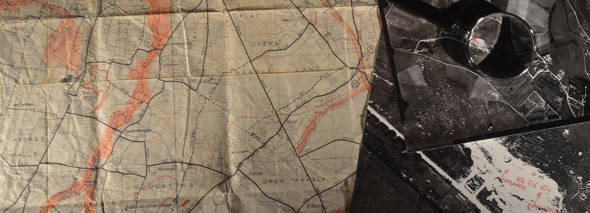
Image by Baptiste Heschung from Pixabay


