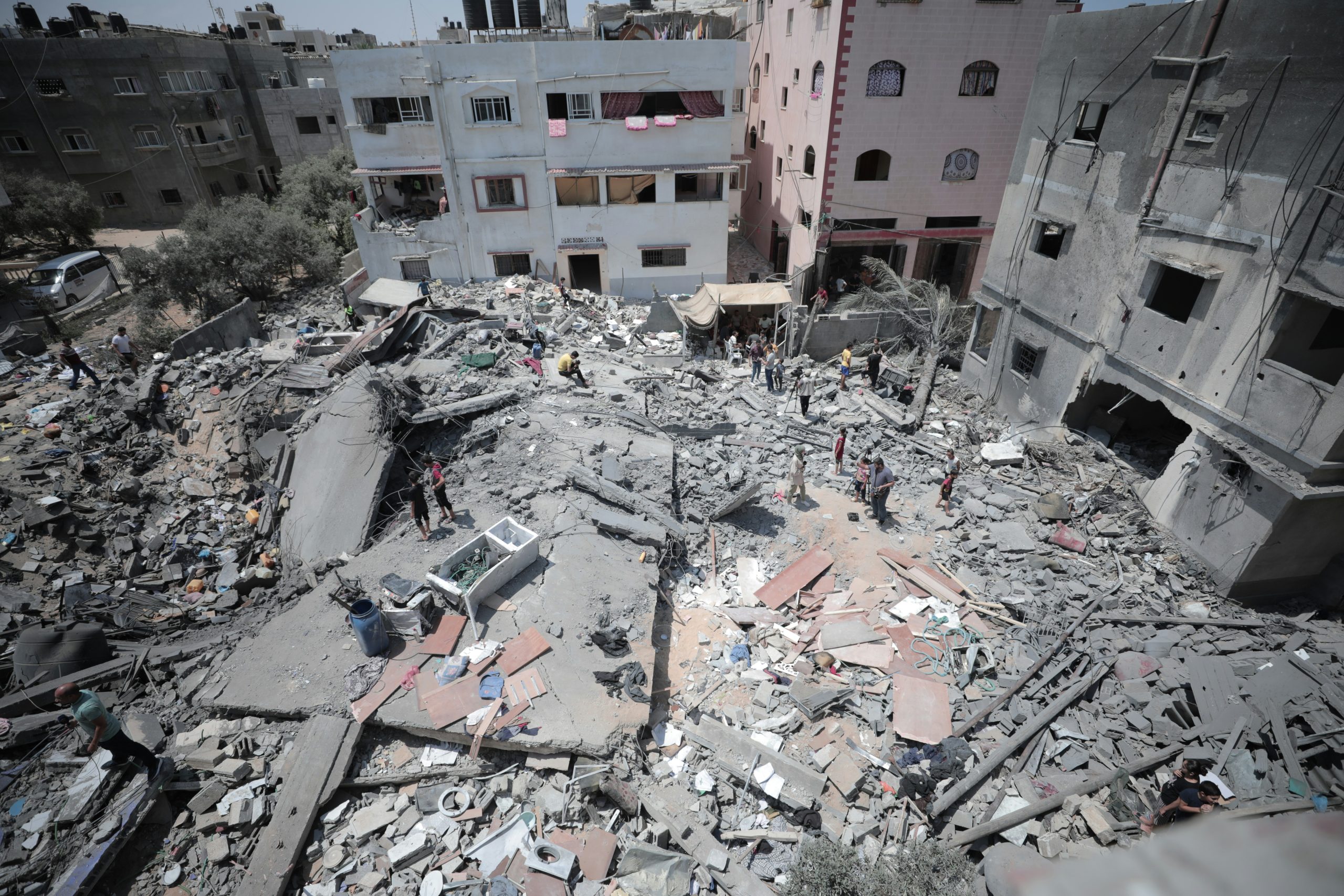
Doug Specht Sheds Light on the Role of Maps in the Gaza Conflict
 In a recent article published on Geography Directions, Doug Specht delves into the complex role that maps play in the context of war, particularly focusing on the ongoing conflict in Gaza.
Specht’s article, titled “Gaza war: how maps are used and abused in times of conflict,” examines the dual nature of maps as tools that can both clarify and deceive in wartime scenarios. He argues that while maps are often perceived as objective representations of terrain, they can also be manipulated to serve as instruments of dehumanization and strategic manipulation, fueling the flames of conflict.
Specht critiques the maps used by media to portray the Gaza conflict. He suggests that these maps often show contested lands and ill-defined borders, which emphasize territory over the human suffering caused by the conflict. He acknowledges efforts by Reuters and others to be more explicit about human suffering but warns against the seductive belief that maps offer a purely scientific and accurate vision of the world. According to Specht, this belief leads to deception, first by the mapmaker and then by those who use maps to influence public perception.
By bringing attention to the use and abuse of maps in times of war, Specht contributes to a broader debate on the power of cartography to shape narratives and influence public opinion. His work underscores the importance of critically engaging with maps, understanding their limitations, and recognizing their potential to misrepresent reality.
Specht’s insights are particularly relevant in an era where satellite imagery and geospatial data play a significant role in conflict reporting and analysis. His article serves as a reminder that maps, like any other form of communication, are not neutral but are embedded with the intentions and biases of their creators
Read the full article on Geography Directions.
Photo by Mohammed Ibrahim on Unsplash


