

Doug Specht on digital fences for British Cartographic Society
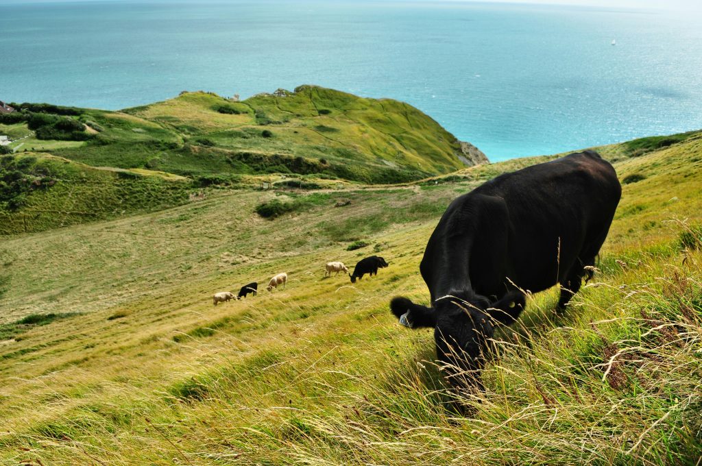
On a recent morning walk through the South Downs, Doug Specht was surprised by a sign explaining why the cows he could see in the distance were roaming freely across the landscape.
“The cows in this area are grazing without a physical barrier,” read the sign. “They are secured behind a virtual fence using ‘Nofence’ grazing technology and GPS collars.”
Naturally, the chartered geographer was intrigued by the cultural and agricultural significance of this technology and ruminated on this reshaping of physical boundaries in the most recent edition of Maplines, the members-only magazine of the British Cartographic Society (BCS).
In his feature article, Doug considers how a few taps on a mobile phone can now influence the herd movements and distribution across the land, defining and redefining roaming territories to optimise land use. He argues that spatial management and human-animal interaction mediated by the digital paddock maps facilitates the creation of dynamic and socially constructed spaces that were previously marked with physical barricades.
“It is the map that shapes the land, our relation to it, and our movement through it.”
Read the full article below (courtesy of Doug), or online here for BCS members.

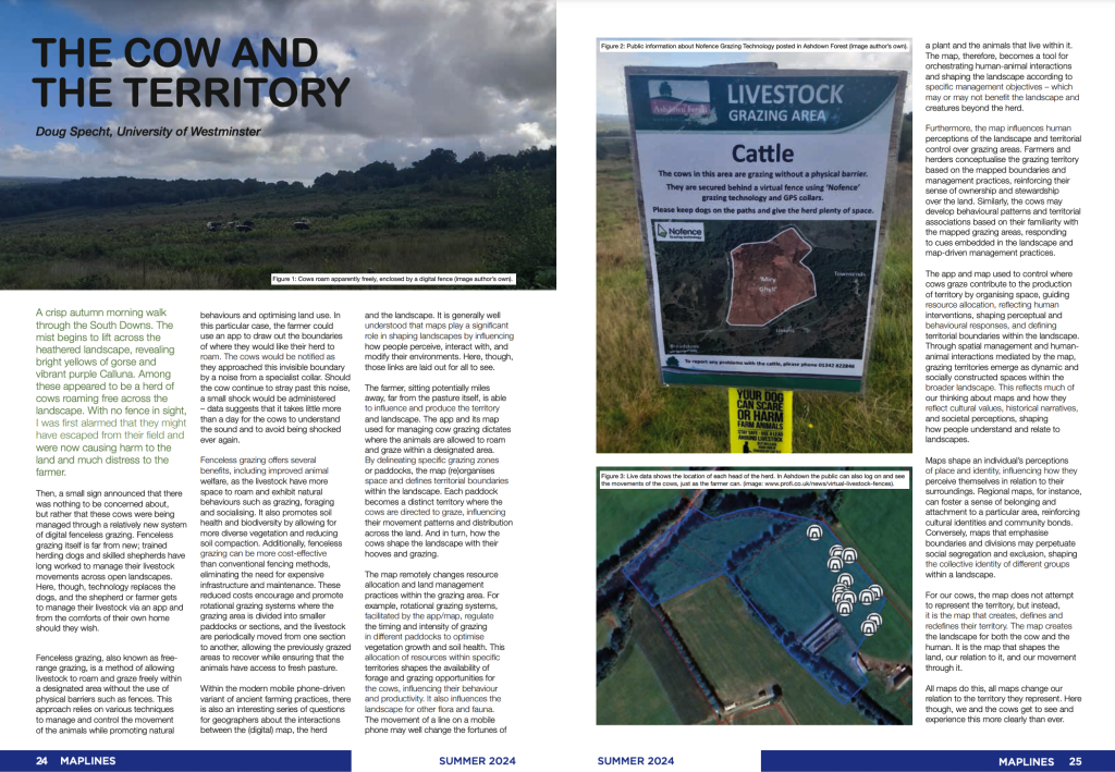
Photo by Viktor Forgacs on Unsplash

Professor Steven Barnett helps shape future of UK broadcasting landscape as part of DCMS Future of TV Distribution Audience working group

Doug Specht publishes on how a landmark verdict against Greenpeace could reshape the risks facing climate activists worldwide.

New HEPI report on GenAI and universities

Pieter Verdegem publishes new article on critical AI research in Sociology Compass

Paul Rekret on DIY online radio and the fight against algorithmic playlists in The Wire