

University of Westminster welcomes roundtable on Geographic Standards.
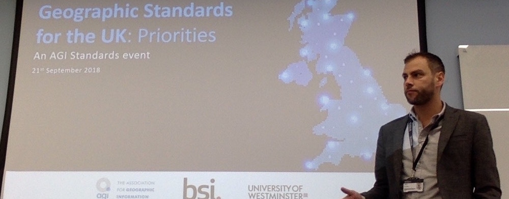
On Friday 21st September the University of Westminster welcomed the ‘Geographic Standard for the UK: Priorities’ roundtable to our Regent Street campus. The event, which was organised by members of the BSI Geographic Information Committee (IST/36), including Peter Parslow (Ordnance Survey) and Doug Specht (University of Westminster), formed the first of a seven part series of events to be supported or organised by the Association for Geographic Information Standards Committee in response to the UK government’s Geospatial Commission consultation.
The UK’s major geographic information organisations were all in attendance to share knowledge and to set priorities for Geographic Standards, including developing provisions for new Open standards and to examine how to best share data with customers and users, as well as to explore interoperability between organisations.
The event brought together geospatial experts from the Environment Agency, DEFRA, the MoD, the MetOffice, the Coal Authority, HM Land Registry, the Valuation Office Agency, the UK Hydrographic Office and the British Geological Survey, alongside Ordnance Survey, the AGI, the Open GeoSpatial Consortium and members of IST/36. The roundtable event provided an opportunity to share good working practice related to standards for data, metadata, geo-referencing and other aspects of geographic work, and to seek new routes for information sharing.
The findings of the day will be compiled into a report by the team from IST/36, with support from the Association for Geographic Information, with a view to feeding into the newly formed Geospatial Commission. The Commission itself, supported by £40million of new government funding in each of the next two years, has been established to improve the access to, links between, and quality of data – with an aim of making more geospatial data available for free and without restriction. The Commission also aims to set regulation and policy in relation to geospatial data created by the public sector, to hold individual bodies to account for delivery against the geospatial strategy, and to provide strategic oversight and direction across Whitehall and public bodies who operate in this area.

PhD researcher Helen Jay gives evidence at House of Commons

Dr Alexander Sergeant discusses Jamaican film history on Smile Jamaica TV

Alessandro D’Arma publishes new book, Screen Encounters with Britain in the Age of Transnational Streaming

Maria Michalis publishes two new works on AI governance

Geopolitical constraints on China’s soft power: A framing analysis of the Belt and Road Initiative coverage in Italian news media
Image: Doug Specht