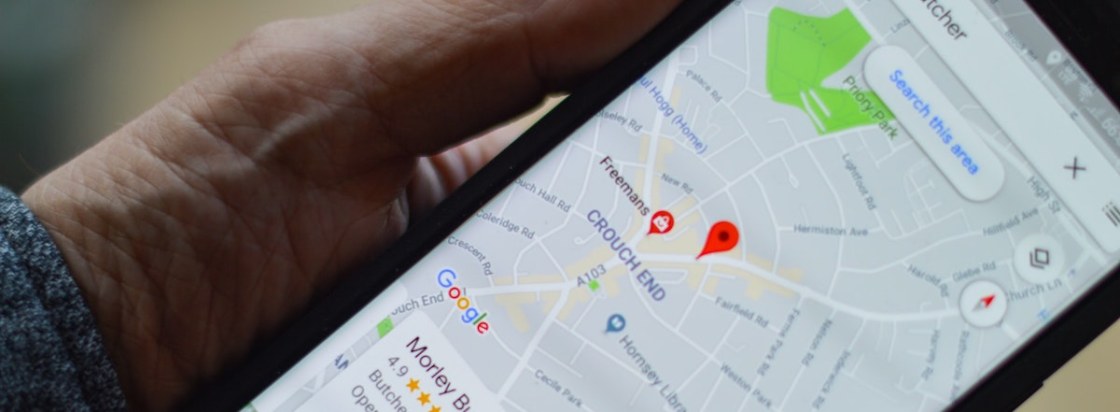
School of Media and Communication launches first of a range of resources with the Royal Geographical Society on the responsible use of location data
Doug Specht, Senior Lecturer and Director of Teaching, Learning and Quality Assurance, has led on the creation of a range of resources for the Royal Geographical Society (RGS). The first of the range of resources has been launched, which covers geospatial ethics.
Led by Doug Specht, the project also involves Dr Natasha Whiteman and Dr Pieter Verdegem, all from the School of Media and Communication. The trio have begun producing worksheets and resources to support school students in applying ethical frameworks to their geospatial data collection and analysis. The resources are designed to support teachers in bringing conversations about data ethics into their classrooms in an easily digestible way. This work builds upon the successful EPQ support resources produced by the School.
Assets created by the team within the School of Media and Communication act as introductory resources to provide extra guidance and support around ethics and data use for Non-Exam Assessments (NEAs). They build on a podcast episode that Specht took part in, which covers the ethical use of location data, and were also introduced during a RGS Schools teacher Continuing Professional Development (CPD) session he ran on ethics in geography teaching.
The resources also draw upon geospatial ethical frameworks including those produced by UNICEF, UK Statistics Authority and the Locus Charter, as well as the extensive research on ethics, data and geospatial analysis that Specht, Dr Whiteman and Dr Verdegem have carried out.
Talking about the resources, Doug Specht said: “The publishing of numerous ethical frameworks for the use of geospatial data over the last couple of years hammers home just how crucial it is that we understand the implications of working with spatial data. Our aim in producing these resources is to support teachers and pupils in thinking about these ethical issues early and embedding them within the everyday teaching of geography.
“By encouraging pupils to think about the ethical implications of digital and geospatial technologies and data, we hope to aid them to think critically about the use of geospatial data and tools, and that ethics will take a more central role in the development of new technology and systems.”
Learn more about the resources on the Royal Geographical Society’s website.
Photo by henry perks on Unsplash


